The hope is to ready them up to face future weather threats.
Legislation recently introduced in the House calls for the creation of a sea level-tracking database—deemed the National Coastal Data Information System—to inform people in frontline coastal communities how climate change is uniquely impacting their areas, and ultimately advance their preparedness for future natural disasters.
If passed, the National Sea Level Risk Analysis Act would mandate the National Oceanic and Atmospheric Administration to capture and centralize vast, countrywide coastal data on the flood risks so many are enduring.
The bill comes from Rep. Nydia M. Velázquez, D-N.Y., who noted in a statement Thursday how her home of New York City “has already suffered the consequences of rising sea levels and flooding.”
“If we don’t take this threat seriously and implement bold climate solutions, it will only get worse,” she said.
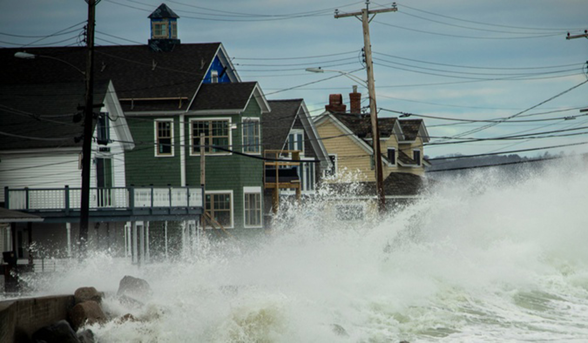
NYC is one of many cities on America’s edge that has been recently pummeled by severe weather events that leave behind expensive, heartbreaking damage in their tracks. Since 1950, sea levels have emerged 6.5 inches higher—and half of that, or three inches, happened in the last two decades. Such a rise means more flooding during high tides and big storms.
“With the National Coastal Data Information System, we can arm our coastal towns with data on rising sea levels,” Velázquez said.


